


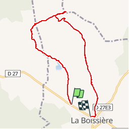

9.5 km | 12 km-effort


User


FREE GPS app for hiking
 SityTrail
IGN / Geographical institutes
SityTrail World
The world is yours!
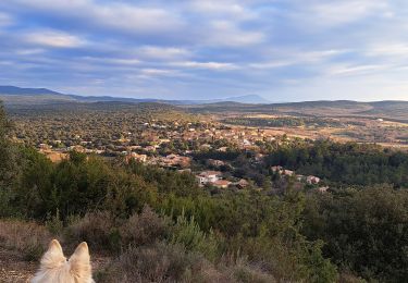
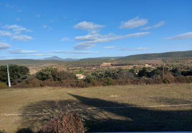
Trail Other activity of 8.4 km to be discovered at Occitania, Hérault, La Boissière. This trail is proposed by kephas.
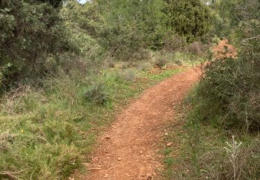
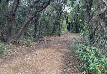
Bonnes pistes bien que caillouteuses en 1ère partie sur l'ancienne voie ferrée : peu d'ombre de bout en bout, à privilégier l'hiver.


Walking

Walking
Walking
Nordic walking
Nordic walking
Walking
Walking
Walking
Walking